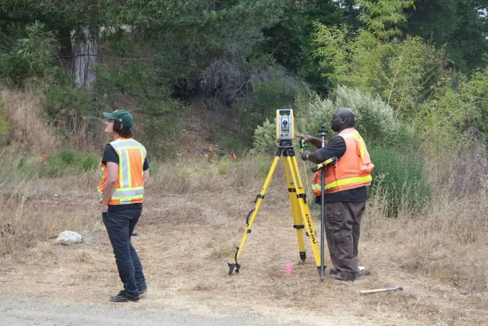
Seeing U&R’s Robotic Total Station (RTS) in action is like watching a scene from a Star Wars science fiction movie. This elaborate land surveying equipment uses lasers to automatically locate, focus on, measure and record exact distances between two objects. It even works by remote control. The RTS measures more accurately, safely, efficiently and comprehensively than equipment it replaces.
Using RTS with our computer-aided design technology, U&R staff can produce maps with more detailed information than in the past. Since RTS eliminates the possibility of human error, we can maintain our excellent track record of providing accurate measurements. RTS also reduces the need to place surveyors in dangerous positions when measuring heights of a tall roof or high voltage electrical wiring on a utility pole. (Or the spaceship on which Darth Vader is traveling. : )