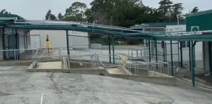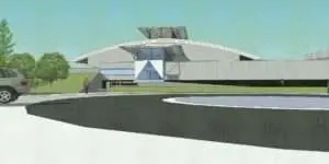
Today’s land surveyors can do more than the standard topographic map, boundary survey, and construction staking. A land surveyor is an expert at measuring all types of things very accurately. With his total station, data collector, and computer he can perform some tasks not often considered.
Over the years U&R has used its surveying capabilities to perform:
- Remote sensing (red light) to measure the height of buildings, trees, utility lines, etc. that may be impossible to physically touch.
- Volume measurements of a dirt pile excavated from a site or the hole left behind. This can be useful in pricing off-haul volumes.
- Dimension certifications for official swimming pools, running tracks, and other sports fields.
- Measurements of interior building dimensions, areas, and volumes. This is useful for building space planning and leasing purposes.
- Monitoring of ground settlement, building movement and landsliding over long periods of time.
- Documentation of location of important archeological, historical, natural, or man-made features that must be recovered after a project is constructed or the land is disturbed. This is very important in the preservation of water monitoring wells.
- Special forensic surveys where the precise location of things is important to legal investigations of traffic accidents, structural failures or construction errors.
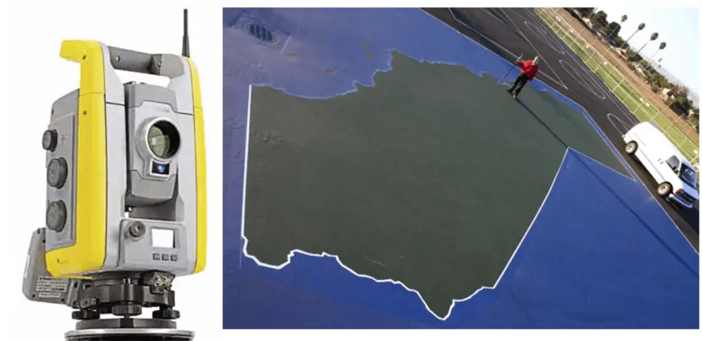
- Stakeout and drawing of very large pictures such as the world’s largest map of California we created at Azevada School in Fremont in 2006.
We are always excited about taking on new challenges and applying our surveying technology to new applications.