Much like the rest of the world, surveying is now in the midst of a technological revolution. The past fifty years have brought tremendous change in the gathering, presentation and usefulness of survey data. The capacities developed by 2000 were vastly greater than those of 1950, and current capabilities are much advanced over those of ten—or even five—years ago. The good news is that we, as surveyors, are better able to provide more and more useful products to clients and other downstream users.
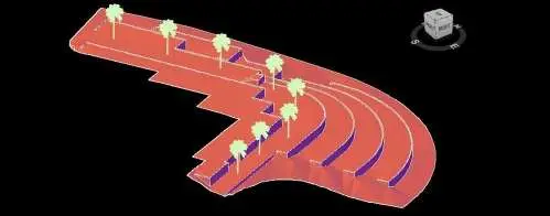
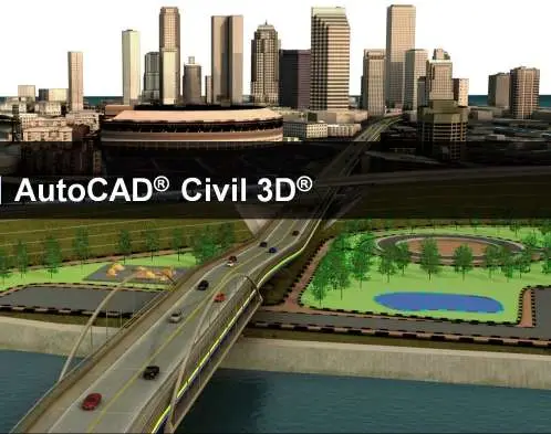
Traditionally, survey data has been presented on paper in a plan and/or profile view. While the finished product was in two dimensions, there was still a vertical element either through spot elevation labels or contours, or both. Today, we are still able to present our findings on paper, but our electronic visualizations are much more useful. Through the use of AutoCAD Civil 3D, the industry-standard in our field, Underwood & Rosenblum is able to provide all data digitally in three dimensions. Civil engineers, architects and other development professionals can then use these three-dimensional data within AutoCAD Civil 3D or AutoCAD Revit to generate real-life renderings, earthwork calculations, and other 3D products. In fact, when architects and engineers want surveys that are most useful to them, this is what they seek.