The same GPS (Global Positioning System) satellites used to place your car’s position on a road map can be used by land surveyors to accurately plot survey points. But to obtain the sub-centimeter precision required for
land surveys, the equipment has always been very expensive, operationally slow, and often unusable under tree canopies and where satellite coverage is weak.
That’s until new technology was recently developed to track and process data from larger numbers of satellites, including those operated by other countries.
Javad GNSS, with its world headquarters in Silicon Valley, is an international leader in developing new GPS technology for surveyors.
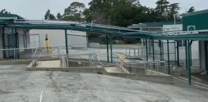
This past year, U&R purchased two Triumph-LS GPS survey systems and developed a mutually beneficial partnership with Javad. As the closest land surveying company to their headquarters, we were hired to provide high-order surveying control networks used inside Javad’s equipment testing facility.
Bob Devonshire, U&R’s newest surveyor, and GPS specialist is now locating survey monuments with speed and accuracy never before imagined.