Driverless vehicles. Autonomous commercial flights. Robots stocking shelves. We are at a juncture in history where technology is throwing a lot of traditional processes and uses into question – including the role of humans in everyday work.
As land surveyors, using technology is a part of our job. In the past decade especially, we have witnessed some very sophisticated tools gain wider use that have greatly enhanced the data we gather to produce a survey. But could these technologies ever make land surveying fully autonomous – no humans needed?
The quick answer? Definitely not.
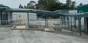
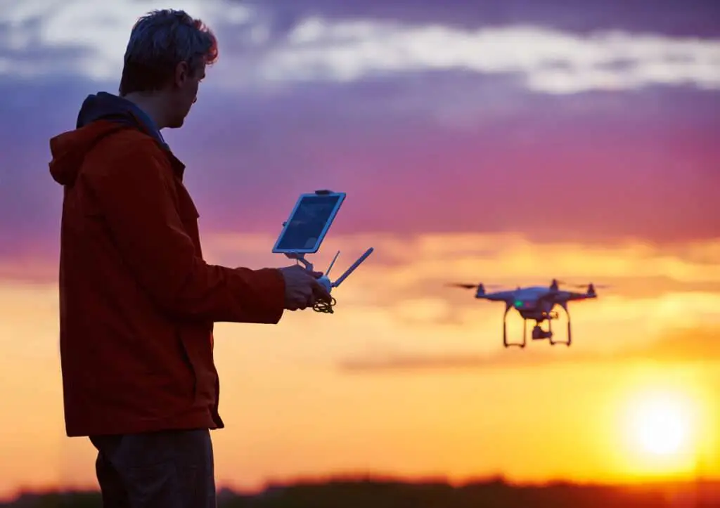
The concept of aerial surveying has been around since the post-WWII period. The use of satellite imagery has seen a parallel increase in use. Drone surveying is a recent subset of aerial surveying. In the 2010s and 2020s, it became an affordable alternative to airplane-based aerial surveying. Aerial surveying, however, is only one piece of the puzzle where land surveying is concerned. An accurate survey starts with the optical measurements our teams are gathering on the ground. There are times when we are working with a parcel of land that includes unusually rough terrain. This includes steep or rocky slopes that may be dangerous or impractical for our teams to access. Situations like these make it ideal to enhance our services with an aerial surveyor – whether utilizing a manned flight or drone.
When we work with an aerial surveyor, we are looking to supplement the data we are gathering on the ground with the data they are gathering from the sky. If the survey lacks either set of data, it may not provide the scope or accuracy the client needs to proceed with their project. One example of where this can be useful to a client is in land development. Not all land has development potential, especially land with a steep slope. Aerial surveying can help us assess the usability of land so the developer can make smart decisions about how to proceed with their investment as well as address various compliance issues.
U&R’s teams of surveyors have decades of experience in working with state-of-the-art tools and technology on the ground. Our approach is to contract with aerial surveyors when they add value to a project. Aerial surveyors will reconcile their photos with the controls we initially set. From here, we are able to produce a highly accurate and well-rounded survey. While a drone will never do our job for us, U&R welcomes the expansion of this technology as a useful enhancement for our clients. We are excited to see further advancements in aerial surveying and we will continue to utilize this supplemental resource as projects call for it.
For more information on U&R’s civil engineering and surveying services, visit https://www.uandr.com/services/